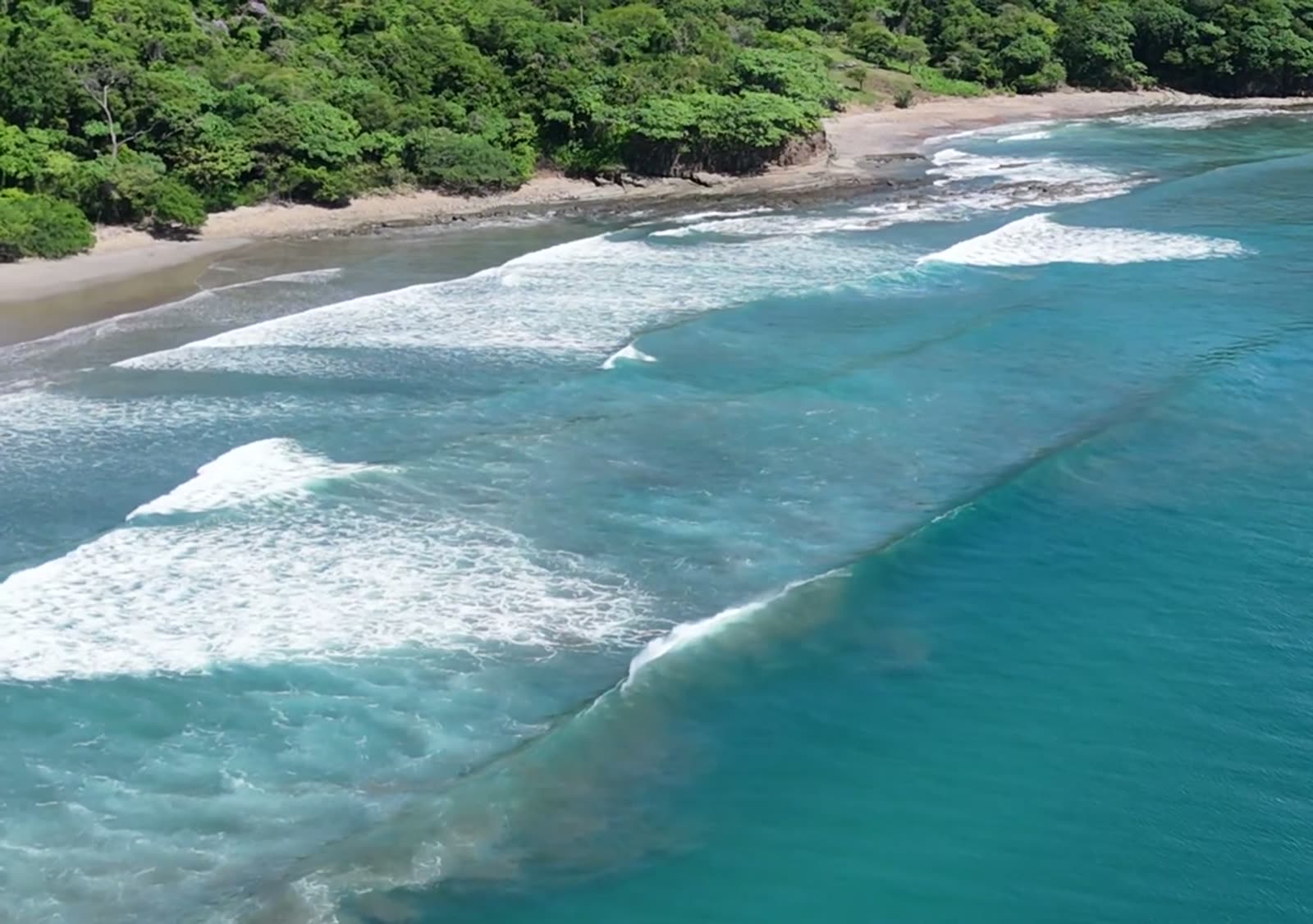
The A-frames
The 1st, 2nd and 3rd peak, south to north.
| Faces | WSW · 236° |
| Swell window | S to WSW · 175–245° |
| Best period | about 12 s |
| Best tide | higher: all three are high-tide breaks |
| Bottom | sand over rock |
| Peaks | 1st, 2nd and 3rd peak, lefts and rights |
| Level | intermediate |
Why it breaks there
Swell bounces off the rocks and crosses itself.
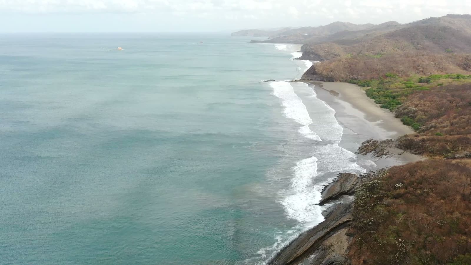
- Sets reflect off the angled rocks at the south end and cross the incoming swell mid-beach. Where they cross, you get the A-frame: three peaks.
- Southerly swell: the 1st peak, nearest the rocks.
- More westerly: the crossing slides north to the 2nd and 3rd.
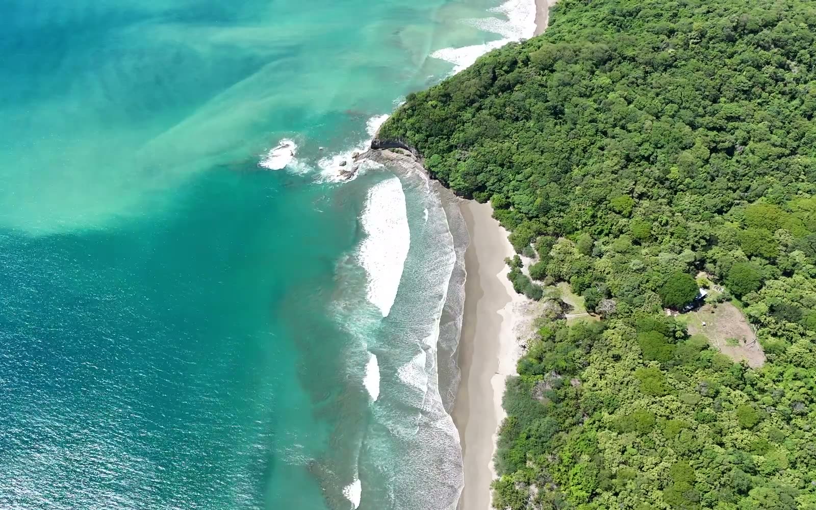
- The north end: the Low Tide Right only ever goes right, and it breaks hard on the sand.
Yankee Low Tide Right
The north end. A right that breaks hard on the sand.
| Breaks | right only |
| Swell window | SW to WNW · 224–306° |
| Best period | 13 s and longer |
| Best tide | low to mid |
| Bottom | sand over rock |
| Where | north end, about 180 m out |
Every peak, every hour
Bluewater IQ scores each of these peaks hour by hour from the swell, the wind, the tide and the sandbars, and every score opens to show why. It covers 106 breaks from Nicaragua to Panama, and the fishing map for 24 ports.
Free to start. Pro unlocks every species and feature.
Get Bluewater IQ on the App StoreThe peaks, their names and the north-end read are local knowledge from people who surf Yankee; the swell windows and periods come from the app's model. Coastline: © OpenStreetMap contributors. More in the data credits.